


Map of the Philadelphia Easton and Water Gap Rail Road
Inv# AM1526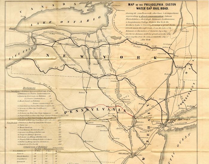
State(s):
Pennsylvania
Years:
Nov. 1852
Map of the Philadelphia Easton & Water Gap Rail Road. Measures 24" x 19".
Condition:
Excellent
Item ordered may not be exact piece shown. All original and authentic.


Ebay ID: labarre_galleries